Project Overview
Project Name: Modernising Land Records
Partner: Directorate of Land Records (DoLR), Govt. of Maharashtra and Google Research
Sectors: Land Records
Category: Computer Science
Current Team:
- Professor-in-charge: Milind Sohoni
- Senior IT expert: Asim
- Student team: Aaryan, Lisan, Yash, Manav
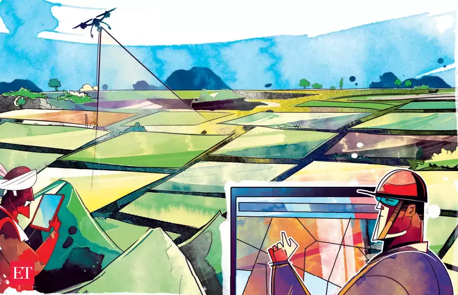
Description: The Government of Maharashtra is looking to modernize land records, and create geo-referenced (latitude-longitude) ownership plots that are as close a match to ground reality as possible. There are several resources we have at our disposal: village paper maps that often date back to the 1800s, satellite images segmented into polygons that represent distinct farm plots (provided by Google), and some other textual/geometric data for each survey plot.
The central problem we face is that the old paper-based maps don’t match the actual farm boundaries that currently exist; rivers have changed paths, ownership of land has been subdivided, and, most importantly, the old techniques of mapping weren’t precise at all, especially by today’s standards. Hence, there is no one legal map for any village: this is not good news, given the number of legal disputes currently awaiting resolution.
Hence, our task is to take the space partitions of polygons, that is the survey map, first digitized and scaled appropriately, and transform it mathematically (using operations such as rotations, translations, node shifts, etc) to match farm plot boundaries while ensuring minimum deviation in parameters such as area/shape index.
Current Status
We’ve been in communication with the Settlement Commissioner and Department of Land Records (SC & DLR) for many months, and are in the process of delivering a year-long MoU, as it pertains to the digitisation and transformation of land records. We are currently in Phase A of the project, where we aim to try our algorithm end-to-end and refine it on several pilot villages. See https://drive.google.com/file/d/1clbUo7RDzPVoOZ08S30hW1zu09OT_nry/view?usp=sharing for a quick introduction to the problem.
As a team, we are fairly technically mature, having worked with Google’s farm plot segmentation and village maps for over a year now. Our algorithm has developed to become fairly sophisticated, going from global scaling and rotation to region-wise rotation/translation fits, node-by-node BFS, and as of most recently priority-based face BFS. We’re currently pursuing the use of void spaces amongst farm polygons for specialised handling of rivers/roads, and potentially look to use agricultural voids for region boundary handling.
Skills Learned
Python
PostgreSQL
PostGIS
QGIS
Graph Theory
Data Structures & Algorithms
Topological Operations
Government Meetings- etiquette and delivery
Field Verifications
Documentation and report-writing
Qualifications Required
Year: First year and above (at least two semesters completed)
Experience: Some familiarity with Python is appreciated, and so is ability in Data Structures & Algorithms as well as 2D Geometry.
Work Description
Roles: 3 GIS Algorithm Development & Deployment Positions
Stipend: Paid project (join community for more details)
Project Duration: 4 months, registration for R&D project (6 credit course) is recommended after winters. The student must be on campus while working on the projec, during the winters. Room retention can be arranged.
Tasks/Deliverables:
- Understand and improve upon the algorithm developed for minimizing mismatch between farm boundaries and ownership plots
- Develop validation metrics for parameterising shift and mismatch of ownership polygons pre and post-processing
- Integrate textual records into our algorithm
- Integrate sectoral knowledge (ownership patterns in agri/non-agri areas in rural regions) into the product
- Understand and communicate requirements of both parties (IIT Bombay and GoM), and help train the latter
- Undergo field visits for verification
How to Apply?
Submission link: https://forms.gle/azAVKccahq2qySw8A
Deadline: 11:59 PM, 22nd October, 2023
To enroll for the project, you must fill the form above. For further credit, you can attempt and submit the assignment below to the best of your abilities, taking aid of any tools online. We will contact you personally if you are shortlisted for the interview.
(Optional) Assignment: Getting familiar with GIS
This problem will involve getting familiar with the tools we usually use and performing some basic queries and operations using them.
The sawangi.shp file contains the ownership plots of the sawangi village in the Amaravati district. (Shape file can be located here- https://drive.google.com/file/d/1OeR0WB-6TAQQzAI5tcQIt0JVxc59asWH/view?usp=share_link)
- Load the sawangi.shp shapefile into QGIS and add the screenshot in your report.
- Insert the shp file into your Postgres database (dbname=sawangi_test) and report the datatype of each column.
- Write the answer to each of the following questions along with the SQL query in your report.
- Number of polygons with an area greater than 5 Ha.
- Delete polygons with the value of the pin column as NULL and report the number of columns deleted.
- Total perimeter of the sawangi village.
Note: The SRID for sawangi.shp is 32643. Feel free to use this information anywhere as required.
Assignment guidelines: You must submit a single pdf file titled {your_name}.pdf on the Google Form. The pdf report should include the images, queries and results for the assignment.
Contact Information
For any general queries, join the ProSpace WhatsApp group- https://chat.whatsapp.com/E09qtrcuShp1uf2w82LCsa
For assignment queries, contact:
Email: 210050001@iitb.ac.in, eabhishek001@gmail.com
Phone: 9987361968, 7824027584
Announcements
Want to Help Modernise Land Records?
03-May-2023Ready to modernize land records with Google Research and Professor Milind Sohoni? Join the project and gain valuable skills in Python, PostgreSQL, PostGIS, QGIS, graph theory, data structures and algorithms, as well as meeting etiquette, field verifications, documentation, and report-writing. Apply now and complete the assignment by May 8th to be part of this exciting opportunity!

Recruitment for Modernising Land Records: First-Years
28-Jun-2023Recruitment for the land records project, with Google Research and Professor Milind Sohoni, re-opened for first year students! Join the project and gain valuable skills in Python, PostgreSQL, PostGIS, QGIS, graph theory, data structures and algorithms, as well as meeting etiquette, field verifications, documentation, and report-writing. Apply now and complete the assignment by June 28th to be a part of this exciting opportunity!

Modernising Land Records: a tie-up with Google and GoM
20-Oct-2023Recruitment for the Modernising Land Records project is now open! Join the project and gain valuable skills in Python, PostgreSQL, PostGIS, QGIS, DSA and more. Complete the assignment and submit by 22nd October EOD to be eligible for the project.